Springfield sits atop a deep sequence of glacial till and Pennsylvanian bedrock, shaped by the Illinoian glaciation that left behind a complex stratigraphy of stiff clay, silt lenses, and occasional sand stringers. The city lies within the Illinois Basin, where seismic waves from the New Madrid and Wabash Valley seismic zones can amplify unpredictably depending on local soil stiffness. A MASW survey cuts through that uncertainty by measuring shear wave velocity directly, delivering the VS30 profile needed to classify a site under IBC Chapter 16 and ASCE 7-16. For projects that also require intrusive verification, the data pairs naturally with SPT drilling to correlate dynamic soil properties with blow counts, or with seismic refraction when a bedrock depth profile is needed across a larger parcel. The Illinois State Geological Survey has mapped variable Quaternary deposits across Sangamon County, and a surface-wave test remains the most practical way to capture the stiffness contrast between the upper weathered till and the competent limestone or shale below.
Surface-wave testing resolves the shear stiffness of glacial soils that standard penetration tests can only approximate, giving structural engineers a defensible VS30 for seismic design.
Service characteristics in Springfield Illinois
Demonstration video
Local geotechnical conditions in Springfield Illinois
Sangamon County has a population exceeding 195,000, and the Springfield metropolitan area sits at an elevation of roughly 180 meters above sea level on a broad till plain that masks a deeper seismic vulnerability. The Wabash Valley seismic zone, centered approximately 200 kilometers to the southeast, produced a magnitude 5.4 event in 1968 that was felt clearly in Springfield, and paleoseismic studies suggest larger prehistoric ruptures have occurred. When a site is classified by default as Site Class D without a measured VS30, the design ground motions can be unnecessarily conservative—or worse, unconservative if a thin stiff layer overlies softer material. A MASW test removes that guesswork. The data also supports liquefaction screening, because shear wave velocity correlates with cyclic resistance ratio in the simplified procedure of Seed and Idriss, and in Springfield's sandy interbeds within the till, that correlation can be the difference between a clean bill and a required ground improvement program.
Our services
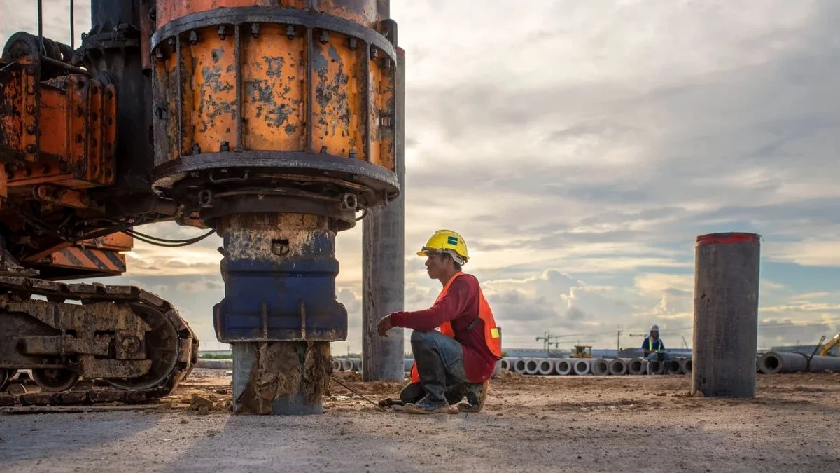
Our Springfield geophysical program covers the full workflow from field acquisition through inversion and reporting. Each survey is tailored to the site's glacial stratigraphy and the project's seismic design requirements.
Active-Source MASW Survey
A 24-channel linear array with a sledgehammer or weight-drop source records Rayleigh wave dispersion. Inversion yields a 1D Vs profile and a VS30 value for IBC site classification. Suitable for parcels up to 2 acres with clear access.
Passive-Source MASW (Refraction Microtremor)
When depth to bedrock exceeds 30 meters or ambient noise is high, we deploy a circular or L-shaped array using ambient vibrations. This extends the investigation depth beyond 50 meters and captures the velocity contrast at the till-bedrock interface.
VS30 Reporting & Seismic Site Classification
A signed report with the complete dispersion curve, inverted Vs profile, and the calculated VS30. Includes NEHRP site class assignment and spectral acceleration parameters per the USGS National Seismic Hazard Model, formatted for direct submittal to the structural engineer of record.
Questions and answers
How long does a MASW survey take on a typical Springfield lot?
An active-source MASW survey on a standard single-family or small commercial lot in Springfield usually takes about two hours of field time. The inversion and reporting add another two to three business days. If we need to add a passive-source array because the till is thicker than 30 meters, field time may extend by an additional hour.
What does a MASW / VS30 test cost in the Springfield area?
For an active-source MASW survey with full VS30 reporting in Springfield, the cost typically falls between US$1,510 and US$3,400 depending on the number of spreads, the need for passive-source arrays, and the complexity of the site's subsurface. A single-spread active-source survey for a standard lot is at the lower end of that range.
Can MASW replace a borehole for site classification?
MASW measures shear wave velocity directly, which is the parameter that governs site classification under IBC and ASCE 7, so it often provides a more direct path to a defensible VS30 than a borehole alone. However, an intrusive investigation is still required to confirm stratigraphy and sample soils for laboratory testing. The two methods are complementary, and many Springfield projects use MASW alongside SPT borings or CPT soundings.
How does Springfield's glacial geology affect the MASW results?
The Illinoian till that underlies much of Springfield is typically stiff and overconsolidated, which produces relatively high shear wave velocities in the upper 10 to 15 meters. But the till often contains lenses of softer lacustrine clay or loose sand that can create a velocity inversion—a faster layer over a slower one. Our inversion algorithm handles velocity inversions explicitly, and we validate the dispersion curve picking with multiple source offsets to ensure the low-velocity zones are resolved correctly.